Remote Sensing Softwares – Rese ATCOR®
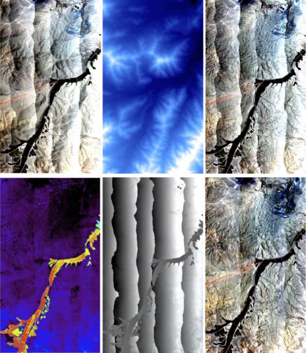
Atmospheric / Topographic Correction for Remote Sensing Image
Remote Sensing Softwares – SpecTIR / EXOGENESIS
SPECTRAL TOOLBOX
- Bloodhound : 표적탐지 모듈
- Automated Flat Fielding : 자동화된 대기보정 모듈
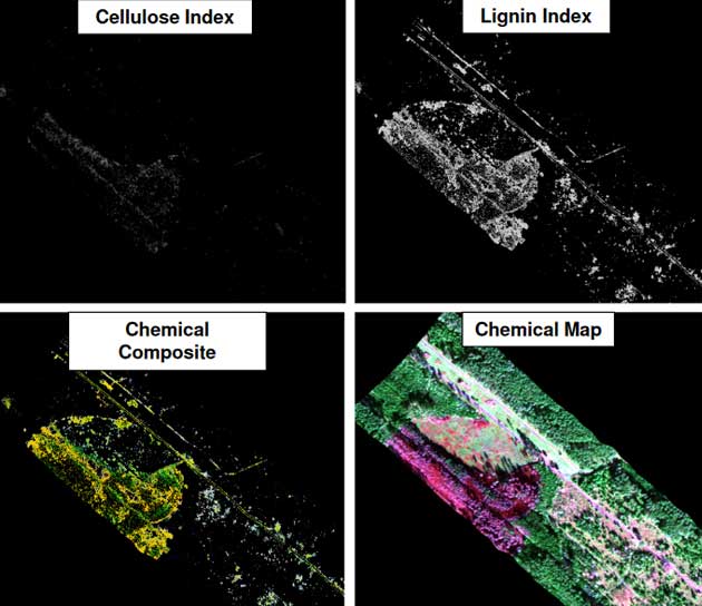
- Material Identification : 재질식별 모듈
- Specialized Geology Tools : 지질관련 데이터 분석 모듈
- Spectral Library Management : 분광 라이브러리 관리
- Water Quality Assessment Tool : 수질평가 모듈